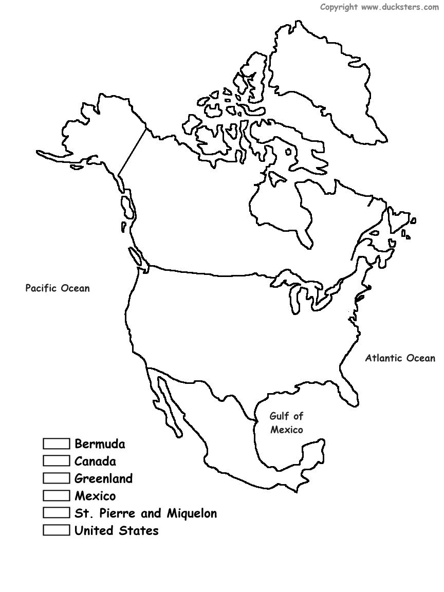
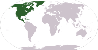
North America is the third largest of the seven continents. It is bordered by the Atlantic Ocean to the east and the Pacific Ocean to the west. North America is dominated by its three largest countries: Canada, Mexico, and the United States. Central America and the Caribbean are usually considered part of North America, but they have their own section here.
Although Columbus is given much credit as having discovered America, there were plenty of people already living in North America prior to the Europeans having arrived. This included many Native American tribes in the United States and the Aztec civilization in what is now Mexico. In the 1600's the Europeans quickly colonized and took over much of North America. The most populous country in North America, the United States, was formed in the late 1700's and became a "melting pot" of people and cultures from around the world.
Population: 528,720,588 (Source: 2010 United Nations)
Ranking: It is the third largest and the fourth most populous continent
Major Biomes: desert, temperate forest, taiga, grasslands
Major cities:
Mexico City, Mexico
New York City, USA
Los Angeles, USA
Chicago, USA
Toronto, Canada
Houston, USA
Ecatepec de Morelos, Mexico
Montreal, Canada
Philadelphia, USA
Guadalajara, Mexico
Bordering Bodies of Water: Pacific Ocean, Atlantic Ocean, Arctic Ocean, Gulf of Mexico
Major Rivers and Lakes: Lake Superior, Lake Huron, Lake Michigan, Great Bear Lake, Great Slave Lake, Lake Erie, Lake Winnipeg, Mississippi River, Missouri River, Colorado River, Rio Grande, Yukon River
Major Geographical Features: Rocky Mountains, Sierra Madres, Appalachian Mountains, Coastal Range, Great Plains, Canadian Shield, Coastal Plain
Countries of North America
Learn more about the countries from the continent of North America. Get all sorts of information on each North American country including a map, a picture of the flag, population, and much more. Select the country below for more information: