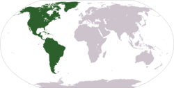
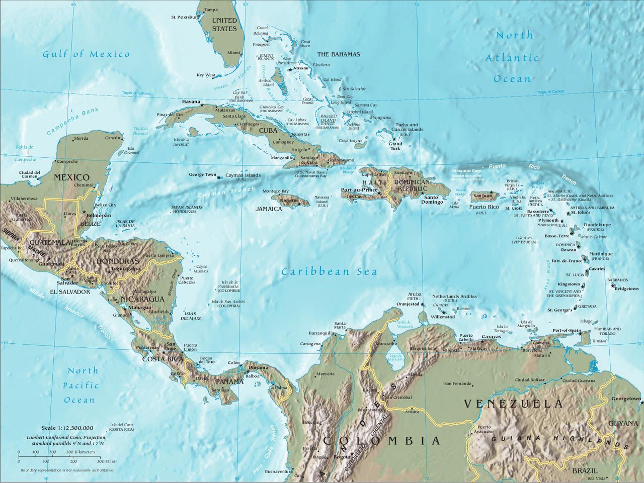
Central America is generally considered part of the continent of North America, but is often referred to as its own region. Central America is a narrow isthmus that is bordered by North America and the Gulf of Mexico to the north and by South America to the south. To the east of Central America is the Atlantic Ocean and the Pacific Ocean is to the west. There are seven countries that are considered part of Central America: Belize, Costa Rica, El Salvador, Guatemala, Honduras, Nicaragua, and Panama.
Central America was the home of many Native Americans prior to Europe colonizing the region. The majority of the area was colonized by Spain. Spanish is still the most common language.
The Caribbean Islands are another region that are considered part of the continent of North America. They are located in the Caribbean Sea to the east of Central America. The largest four Caribbean Islands are Cuba, Hispaniola, Jamaica, and Puerto Rico.
Population:
Central America: 43,308,660 (Source: 2013 CIA World Fact book)
Caribbean: 39,169,962 (Source: 2009 CIA World Fact book)
Area:
202,233 square miles (Central America)
92,541 square miles (Caribbean)
Bordering Bodies of Water: Pacific Ocean, Atlantic Ocean, Gulf of Mexico, Caribbean Sea, Straits of Florida
Major Geographical Features: Sierra Madre de Chiapas, Cordillera Isabelia Mountains, Sierra Maestra Mountains, Lucayan Archipelago, Greater Antilles, Lesser Antilles, Isthmus of Panama
Countries of Central America
Learn more about the countries from the continent of Central America. Get all sorts of information on each Central American country including a map, a picture of the flag, population, and much more. Select the country below for more information:
There once was a country called Central America. Today it is divided up into Guatemala, Honduras, El Salvador, Nicaragua, and Costa Rica.
The Panama Canal allows ships to cross Central America from the Pacific Ocean to the Atlantic Ocean. The canal is a manmade construction that traverses 50 miles across the country of Panama.
Central America was home to the Mayan Civilization, one of the great civilizations of the historic world.
The largest country by population in Central America is Guatemala (14.3 million 2013 estimate). The largest in the Caribbean is Cuba (11.1 million 2013 estimate).
The Caribbean contains around 8% of the world's coral reefs (by surface area).
Coloring Map
Color in this map to learn the countries of Central America.